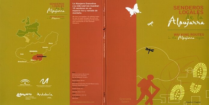
In the Alpujarras there is a network of Senderos Locales. You can find these yellow-and-white waymarked walks on maps and described in brochures of the different villages. A few years ago, they started to renew existing routes and also add new walks to the selection. The new signposting with green-and-white stripes and white arrows on wooden marker posts was finished some time ago. At the beginning of each route, there is a big information panel with a map and a short description of the route. Now the documentation is ready in the form of a guide and with
information on all the walks on the website of Alpujarra Turística of the Mancomunidad. The website is only in Spanish and not all the information is correct. In each route description it says that the length of the walk is 2,5 kilometres and takes 45 minutes, but of course they all differ. The guide is bilingual and ´Walking routes in the Alpujarra region´ is its subtitle. Unfortunately there are many mistakes in the English texts. An ´era´ is translated as ´period´ instead of ´threshing circle´ for example. The guide has been distributed over the different town halls and tourist information points in the region, where they give them out for free. Only in the tourist office in Orgive they charge five euros for a copy. In previous posts we already mentioned the changes of two routes of Bérchules, the ´Junta de los Ríos´ and the ´Acequias´ and of the change of direction of the walk of Gerald Brenan walk in Yegen. Some routes like the ´Vereica Misa´ of Bérchules have been dropped of the list completely. We will try to comment on all the different routes in the course of time.

This is the list of Senderos Locales in this publication. The links in this list, link to our blog posts on the particular walk.
Almegíjar - La Cuesta - 1,7 km linear
Almegíjar - Panjuila - 2,6 km linear
Bérchules - Acequia de Bérchules - 4,2 km circular
Bérchules - Junta de los Ríos - 9,5 km linear
Laroles - El Castaño - 8,7 km circular
Laroles - Joplón - 7,8 km circular
Mecina Bombarón - Acequia Alta - 2,5 km linear
Mecina Bombarón - Acequia Baja - 1,7 km linear
Mecina Tedel to Cojáyar - 2,7 km linear
Murtas - La Solana - 4,2 km circular
Órgiva - Los Mineros - 8,2 km circular
Pampaneira - La Atalaya - 8,2 km circular
Pitres to Ferreirola - 3 km linear
Torvizcón - Pedro Antonio de Alarcón - 8,3 km linear
Trevélez - Molino Altero - 2 km circular
Turón - Cabrahigo - 2,8 km linear
Túron - Chorillo - 4 km circular
Yegen - Gerald Brenan - 1,9 km circular
Yegen - La Salud - 3,6 km circular


No comments:
Post a Comment